Indigenous Nations and the Geography of Land Dispossession: How does geography determine where and how people live?


Suggested Teaching Instructions
Learning Standards and Practices
7.2 COLONIAL DEVELOPMENTS: European exploration of the New World resulted in various interactions with Native Americans and in colonization. The American colonies were established for a variety of reasons and developed differently based on economic, social, and geographic factors. Colonial America had a variety of social structures under which not all people were treated equally.
(Standards: 1, 2, 3, 4; Themes: MOV, GEO, ECO, TECH, EXCH)
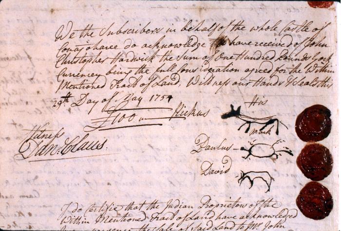
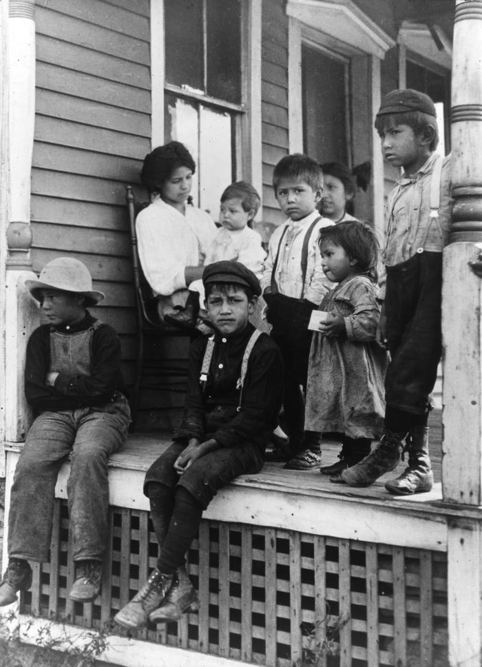
7.2b Different European groups had varied interactions and relationships with the Native American societies they encountered. Native American societies suffered from loss of life due to disease and conflict and loss of land due to encroachment of European settlers and differing conceptions of property and land ownership.
Ø Students will compare and contrast British interactions with southern New England Algonquians, Dutch and French interactions with the Algonquians and Iroquoians, and Spanish interactions with Muscogee.
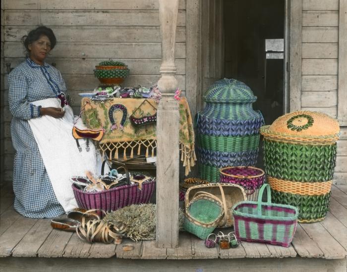
Ø Students will investigate other Native American societies found in their locality and their interactions with European groups.
Ø Students will examine the major reasons why Native American societies declined in population and lost land to the Europeans.
A. Gathering, Interpreting and Using Evidence
5. Make inferences and draw general conclusions from evidence.
D. Geographic Reasoning
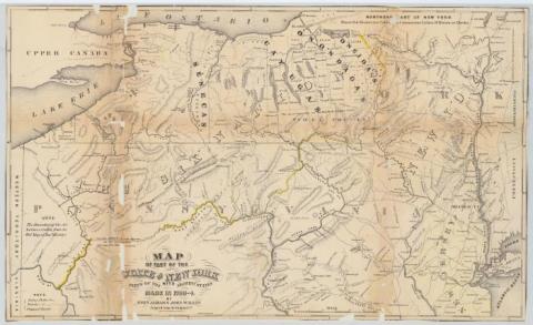
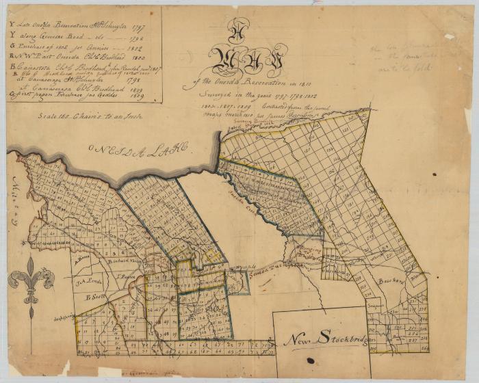
6. Describe the spatial organization of place, considering the historical, social, political, and economic implication of that organization. Describe how boundaries and definition of location are historically constructed.
Setting the Stage
Introduce students to an online map of their community like Google Maps. Hand out a map of their same community from the 1800s. Ask students to think about and discuss what would happen if everyone started using the map from the 1800s to make decisions about who could use the property in their community instead of using the modern map.